OkMap Desktop Video Tutorials
Introduction
OkMap Desktop video tutorials show how to use GPS mapping software to plan hiking routes, create and edit GPX files, manage waypoints and points of interest, georeference raster maps, use DEM (Digital Elevation Model) data, and work with web maps and GPS devices.
Through practical step-by-step guides, you will learn how to prepare routes for hiking, trekking, mountain biking, search and rescue, and other outdoor activities, analyze GPS tracks, calculate distances and elevation gains, create Garmin Custom Maps, download maps for offline use, and visualize terrain in 3D.
The tutorials cover both basic functions and advanced OkMap tools, including web mapping, georeferencing, coordinate systems, SRTM and DEM elevation data, waypoint management, and GPX track handling, enabling you to make the most of the software for navigation, mapping, and terrain analysis.
Get Started with OkMap
Learn quickly how to load web maps, plan hiking routes, manage GPS waypoints, edit GPX files, and visualize terrain in 3D by following these introductory tutorials:
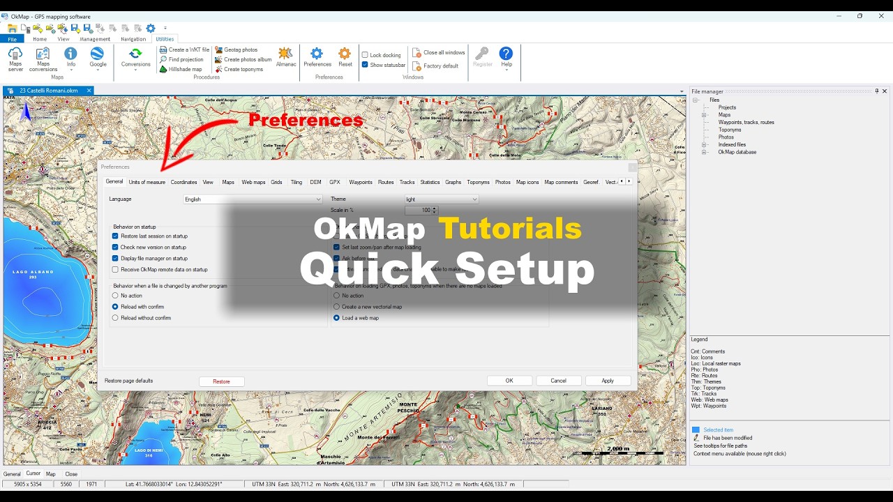
Getting Started
Learn the basic operations of OkMap, from the initial setup to viewing maps and GPS data.
These tutorials are ideal for getting started quickly and making the most of the software.
Web Maps and Online Services
Discover how to use web maps, online mapping services, OpenStreetMap maps, and thematic overlays
to explore the territory and plan your activities.
This section includes loading web maps, downloading offline maps, managing
overlays, and other advanced web mapping features.
Load a Web Map
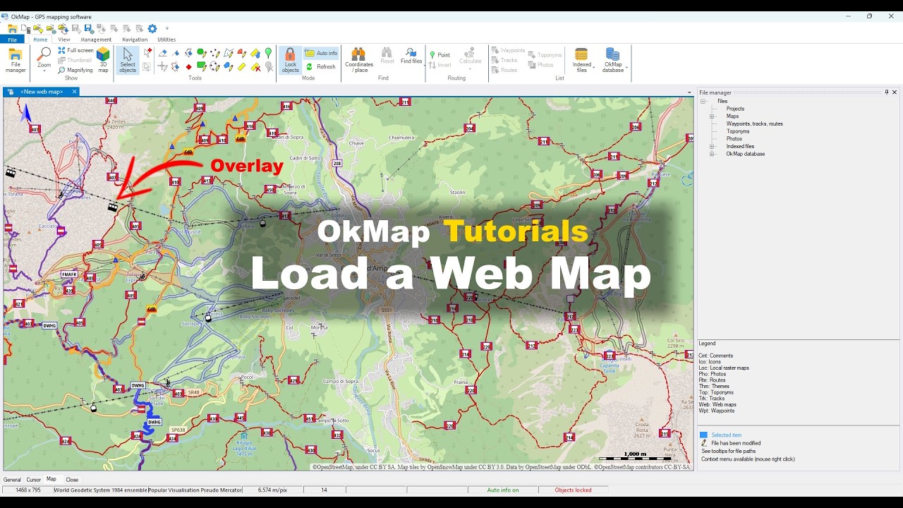
OkMap tutorial for loading web maps, using OpenStreetMap, geocoding, and map overlays.
Display a Map and GPX Data in 3D
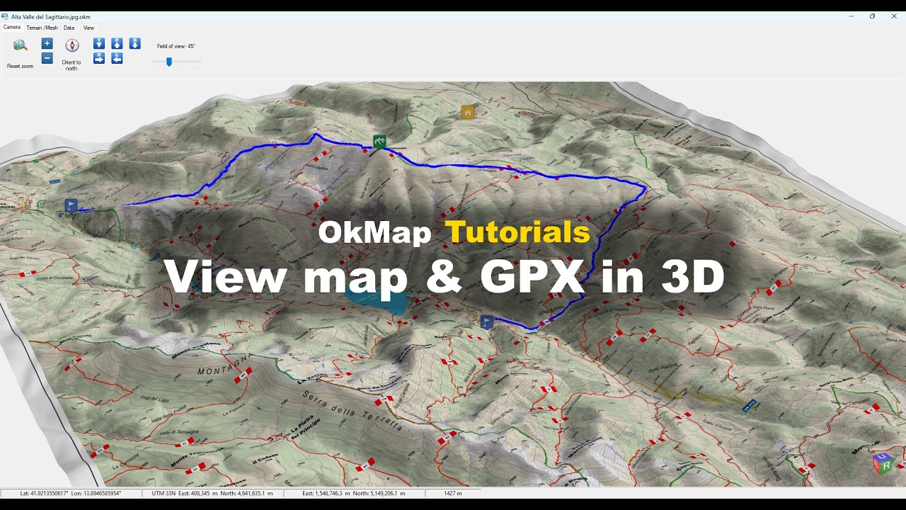
OkMap tutorial for exploring maps, GPX tracks, and waypoints in a 3D environment.
Download a Web Map for Offline Use
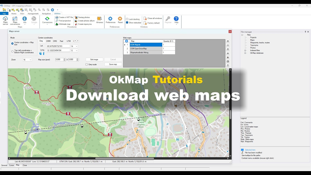
OkMap tutorial for downloading web maps and creating offline maps that can be used without an Internet connection.
Raster maps and Georeferencing
Discover how to georeference raster maps, use CRS and EPSG coordinate systems, and create maps compatible with GPS devices.
This section also covers Garmin Custom Maps and other advanced mapping features.
Georeference a raster map
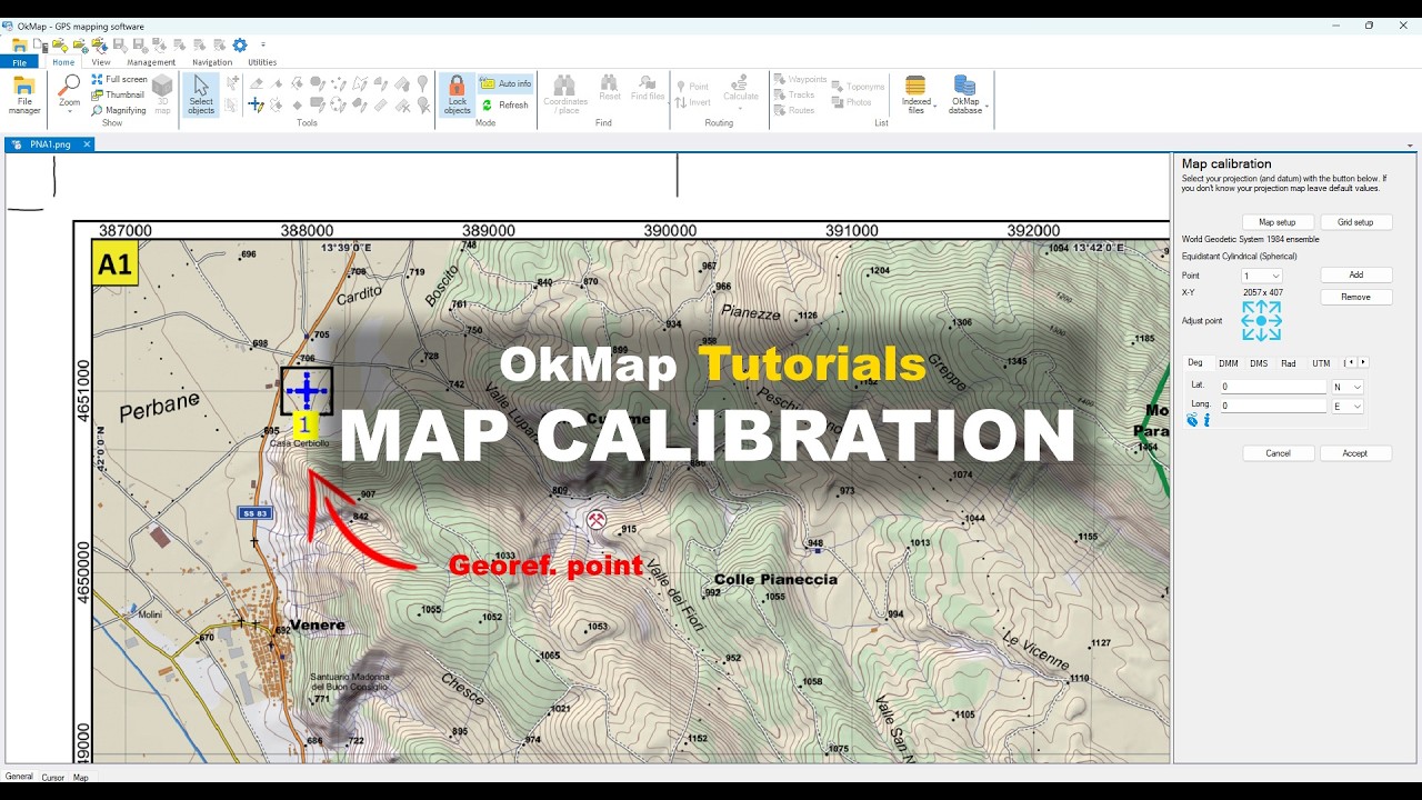
OkMap tutorial for georeferencing a raster map using control points and a coordinate reference system (CRS).
Creating a Garmin Custom Map
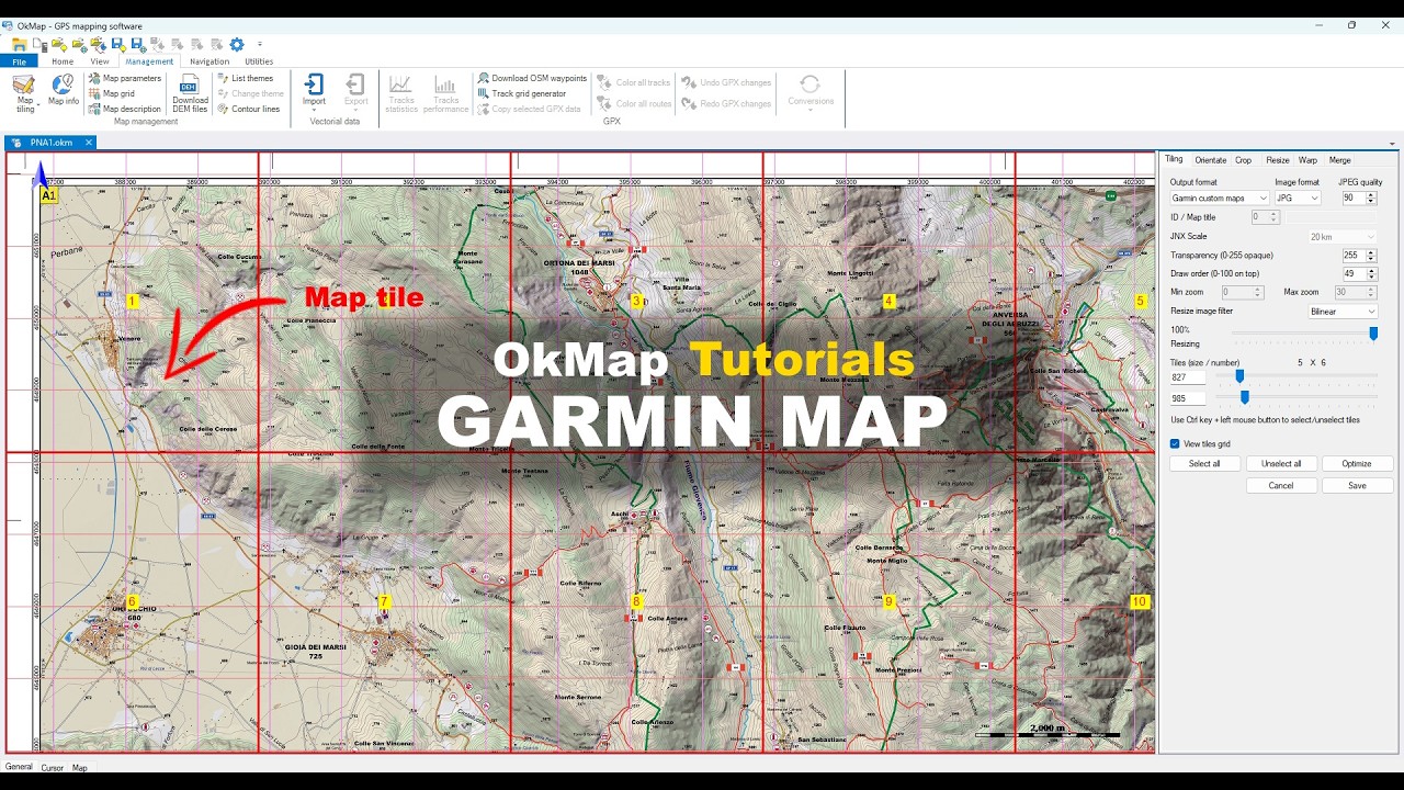
OkMap tutorial for creating a Garmin Custom Map (KMZ) from a georeferenced raster map.
GPS Tracks and GPX Files
Discover how to use OkMap as a GPX editor to create, edit, merge, clean, and analyze GPS tracks and GPX files.
Learn how to plan routes, correct errors, and obtain detailed information about distances, elevations, and travel times.
Preparing a Hiking Track

OkMap tutorial for preparing a hiking track using DEM data, elevation analysis and full statistics.
Cleaning and Analyzing a GPS Track
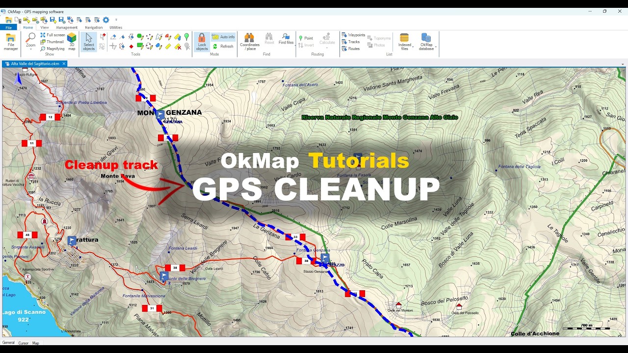
OkMap tutorial for importing, cleaning, and analyzing a GPS track recorded in the field using DEM data.
Advanced Track Editing
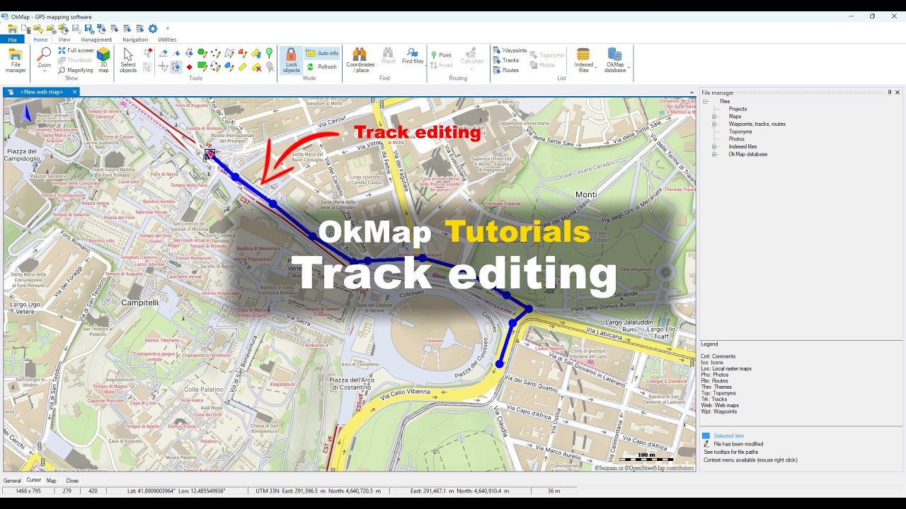
OkMap tutorial for editing GPX tracks using advanced GPX editing and route management tools.
Merging Multiple Tracks
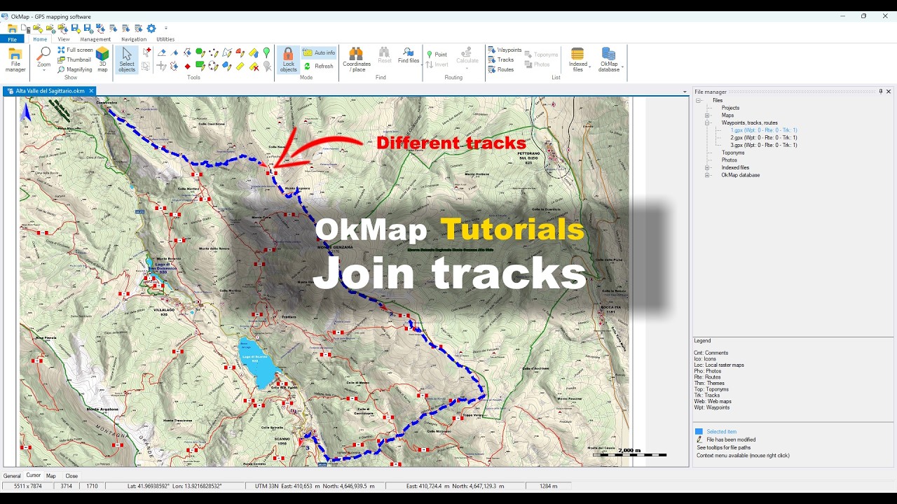
OkMap tutorial for merging multiple GPS tracks and GPX files into a single continuous route.
Waypoints
Learn how to create, edit and organize waypoints and points of interest.
Waypoints help you identify important locations, landmarks and destinations along your routes.
Manage waypoints
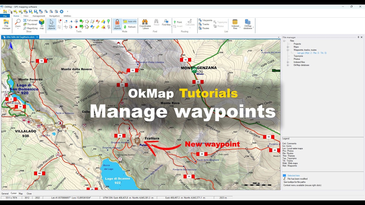
OkMap tutorial for creating, editing, and managing waypoints and points of interest (POIs).
Advanced Waypoint Management
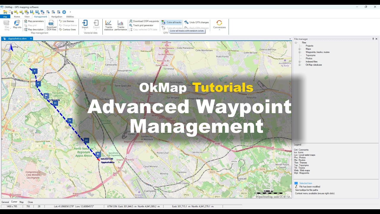
Tutorial on how to manage large numbers of waypoints with OkMap using clusters, filters, and search tools.
Download Waypoints from OpenStreetMap
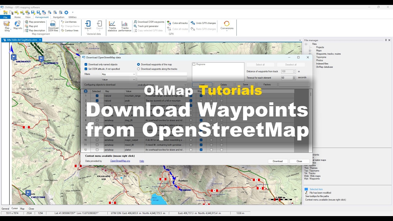
Tutorial on how to download waypoints from OpenStreetMap using OkMap.
Do you want to apply these concepts with OkMap?
After watching the video tutorials, you can deepen your knowledge by reading the technical articles or download OkMap Desktop and work directly with maps, GPX tracks, waypoints, and GPS data.
Free Windows software - Complete PDF manual - Articles