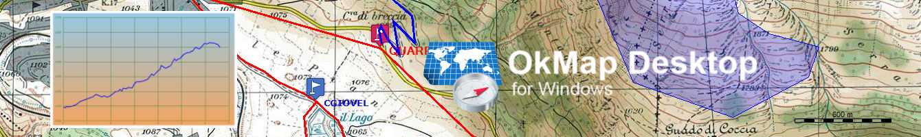
Sul mio tablet Samsung ho installato l'APP "PDF Maps". Questa APP legge mappe georiferite in formato PDF geospaziale, GeoTIFF e GeoPDF®. Con OkMap ho salvato una mia mappa georeferenziata in GeoTIFF. Ho fatto il test con OkMap ricaricando questa mappa.
Questa mappa salvata in GeoTIFF l'ho fatta leggere a "PDF Maps", ma l'APP mi dice che non e' georefernziata. Gentilmente mi sai dare una spiegazione anche se "PDF Maps" non e' di tua competenza?
Sinceramente non conosco PDF Maps ma posso dirti che il GeoTiff č un formato molto complesso dalle mille sfaccettature e so per certo che non tutti i software sono in grado di leggere tutte le possibili configurazioni. OkMap da questo punto di vista č "abbastanza" completo. Prova semmai ad utilizzare un altro software in grado di leggere i GeoTiff per capire se č un problema di OkMap oppure no oppure consulta la documentazione di PDF Maps. Se vuoi capire come OkMap scrive i tags puoi utilizzare la funzione Utilitŕ - Mappe - Mostra tag GeoTiff.
Con OkMap ho salvato una mia mappa georeferenziata in GeoTIFF
Non conosco PDF Maps, ma trattandosi di un software per uno smartphone dotato di Gps, puo' darsi che lui si aspetti un Geotiff in lat/long, mentre probabilmente il tuo e' in coordinate metriche.
Prova quindi a trasformare il tuo file nel sistema EPSG:4326 e facci sapere come va.